#3 Talus <- #4 Zoo Hill Complex –> #5 Summit South Complex
This section has evolved over the years.
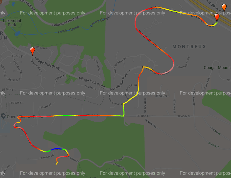
Initially, it climbed the lower part of the Zoo Hill climb and then hopped over to the top of Montreux to grab the exquisitely painful Montreux->Zoo connector. Which was nice and painful, but it really ruined the flow of the ride and was confusing if you didn’t know the route, so nowadays we just do the classic climb, which is more unrelenting and plenty painful.
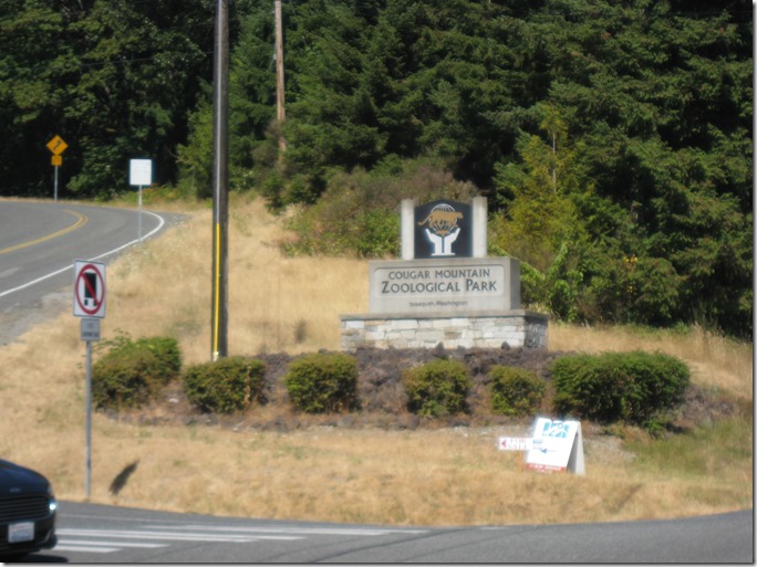
The entrance is easy to find; there is a “Zoo” sign on the right.
and another zoo sign on the left:
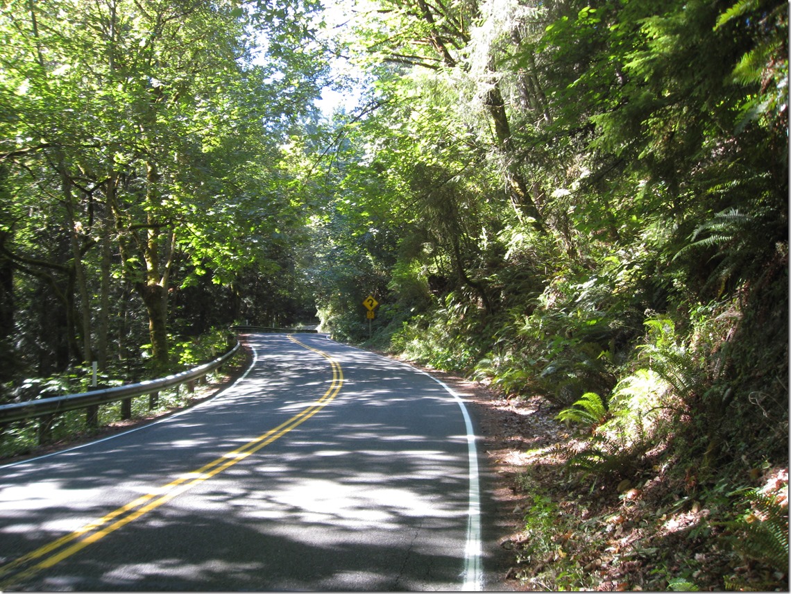
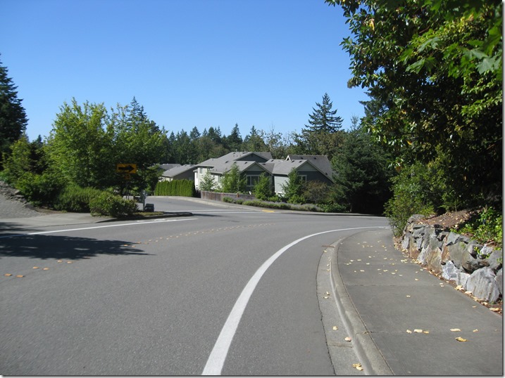
We turn left and immediately hit a steep pitch. After a bit of back and forth and steeper and less steep sections, we near the hairpin. If you look closely, you will see that the sign says it is a 15 MPH turn, which is pretty tight. And you can see why I call the climb “delightful”.
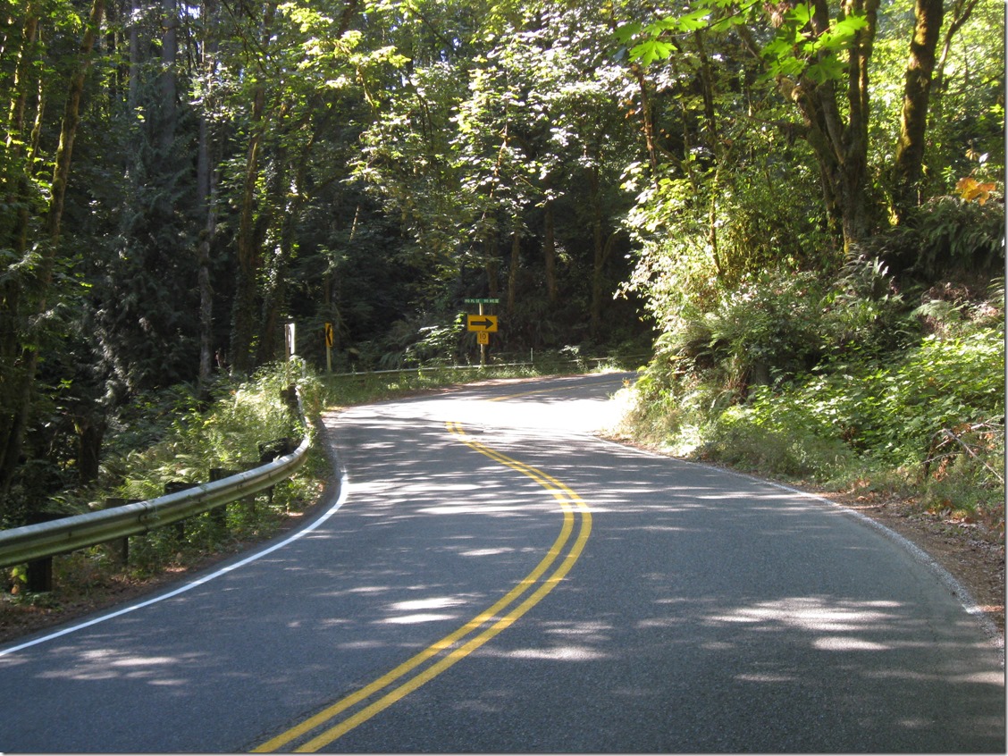
We continue on a bit, and the 15 MPH turn morphs into a 10 MPH turn.
It doesn’t show in the picture, but the inside of the hairpin is really, really steep. Like 20%+ steep. It is also a bit torn up from car traffic. You will be much happier if you stay out near the center line, where the gradient is less and the pavement is a bit better.
Soon after the hairpin, the gradient eases, the lower part of the Zoo ends, and we turn right onto the middle section. This is a section of straight road with a set of rollers. A seemingly endless set of rollers.
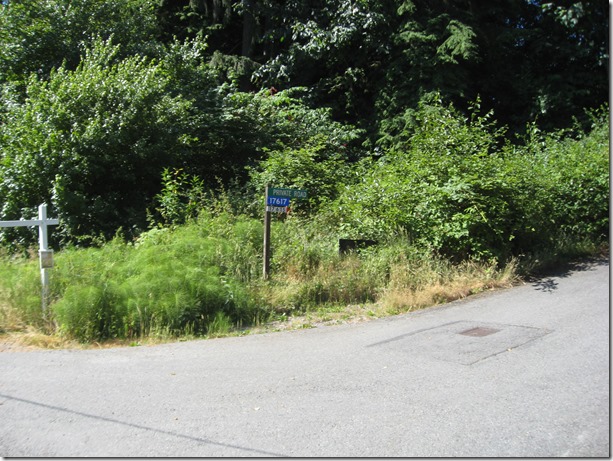
As soon as it flattens, we take an immediate left to do the top section. When this road flattens out and starts to descend, keep going and take the first driveway to the right:
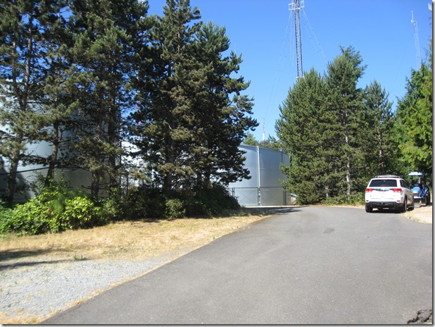
This will take you all the way up to water towers at the top of the hill:
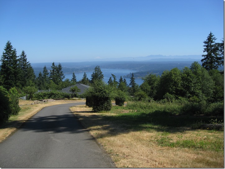
Turn around, and it looks like this. You can just barely make out Mt. Baker on the horizon.
Descend back down to the main road, turn left, and start the descent. After a short straight section, the road turns right, and we continue straight (ie turn left) into Pinacles:
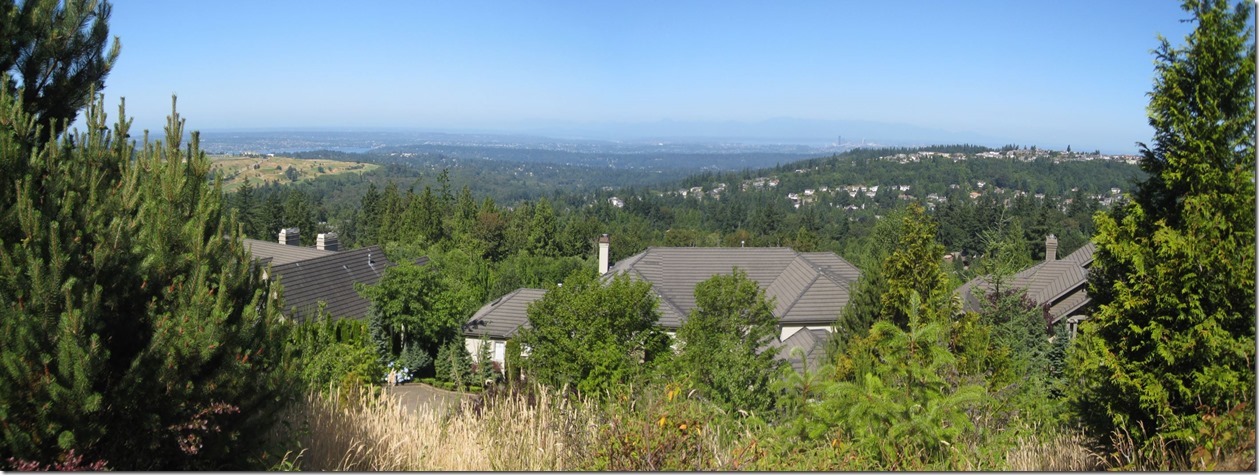
Unfortunately you can’t see the sign when descending. This takes us up a steep climb that flattens. Turn left into the cul-de-sac to get the last little bit of elevation. On the way down, stop to take in one of the best views of the day, looking southwest:
On the left, Newcastle Golf Course with Lake Washington beyond, to the right is “Summit” with Seattle peaking in the distance.
Once we hit the main road again, we turn left and again start looking for a left turn, this time on 166th Way.
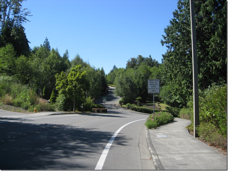
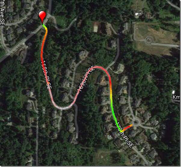
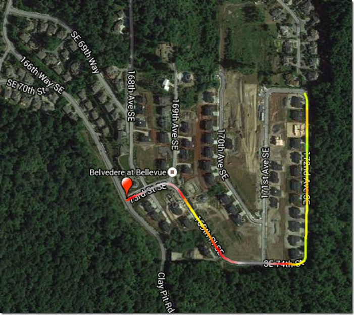
This will go straight for a while, then we will turn left to climb up through Belvedere:

This is the last climb of the complex. This takes us to pretty much the same height as Pinacles, just a bit to the south.
To the left there’s a pocket view of Lake Washington with Newport Golf Course in the middle and the lake beyond, and then Seattle in the distance on the right. Plus, some hay bales and a very pretty truck.
Finally, we descend down, once again turn left, and descend until we hit Lakemont. Turn right and a short climb brings us to Lewis Creek Park, which has water and bathrooms.
That section was 10.4 miles and a healthy 2030’ of elevation gain.
Zoo Hill
Pinnacles
Belvedere




Nice choice. The climb from Newport Way up Montreux to the radio towers actually has a few more feet of elevation than the traditional Zoo Hill climb to the towers. Haven’t done Belvedere yet but looking forward to checking it out today on my training ride. 🙂